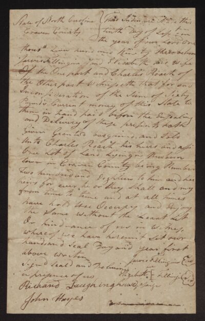
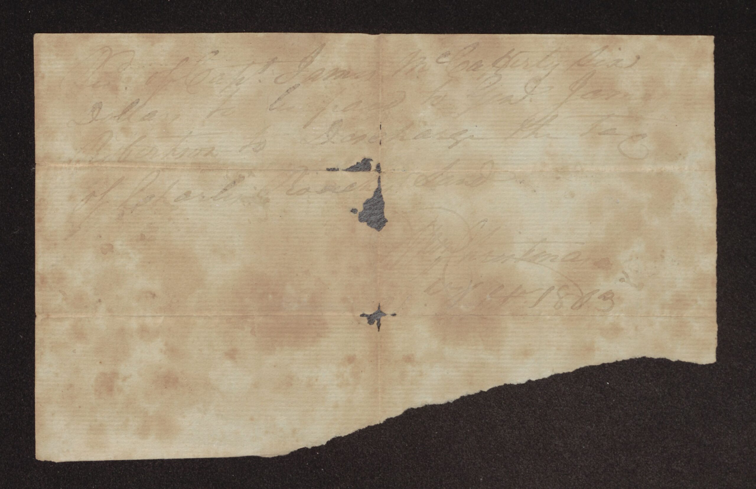
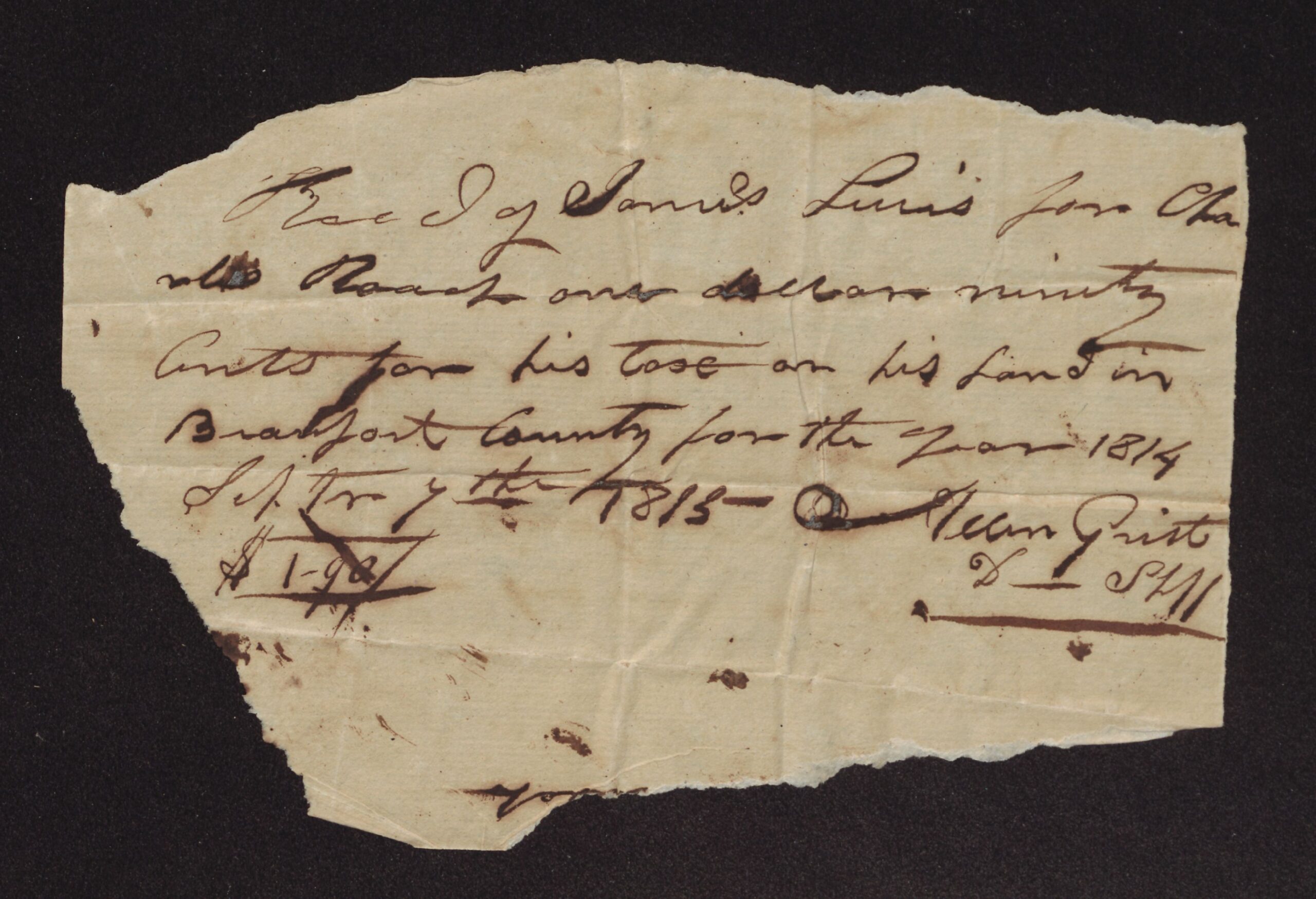
This post gathers six short, incomplete land papers from the folder. The most useful for family history is a receipt dated October 14, 1803, in which William Christmas acknowledged six dollars from Capt. James McCafferty [?] to pass on to General James Robertson for the tax on Charles Roach’s land; the outside calls it the “Recept for the Cumberland Land,” that is, land in middle Tennessee. A second receipt, dated September 7, 1815, is from Allen Grist, deputy sheriff, for $1.90 paid by James Lewis [?] for Charles Roach’s 1814 tax on land in Beaufort County.
The rest are boundary descriptions without dates or witnesses: eight pieces cut from a plat of tracts on Swift Creek, naming John Pain, Kemp’s line and the long branch (one piece matches the 1833 Samuel J. Roach deed); courses of what was probably 640 acres on Blunt’s Creek in Davidson County, Tennessee, joining Henry Johnson, labeled as Thomas Faunt’s [?] land; courses of William Bryan’s patent, joining Bryan’s own line; and the start of the courses of “the Johnson land” on Palmetto Swamp, ending at Jerry King’s corner in John Hill’s patent. The writer’s own words are kept as written below.
Miscellaneous land fragments: cut-out plat pieces, Tennessee land papers, tax receipts and boundary courses – 1803, 1815 and undated
Transcription notes: spelling, capitalization and punctuation follow the original. Words in [square brackets] are editorial notes; [?] marks an uncertain reading and [illegible] marks words that could not be read.
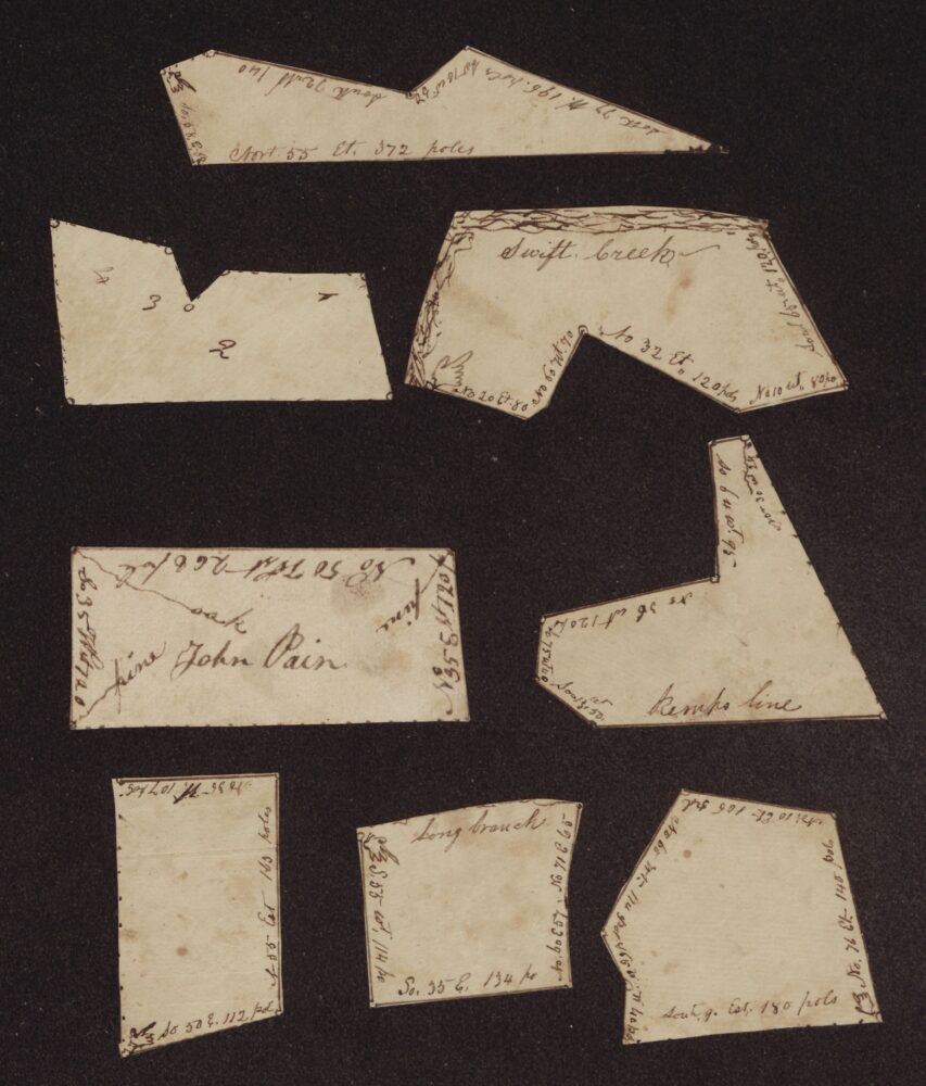
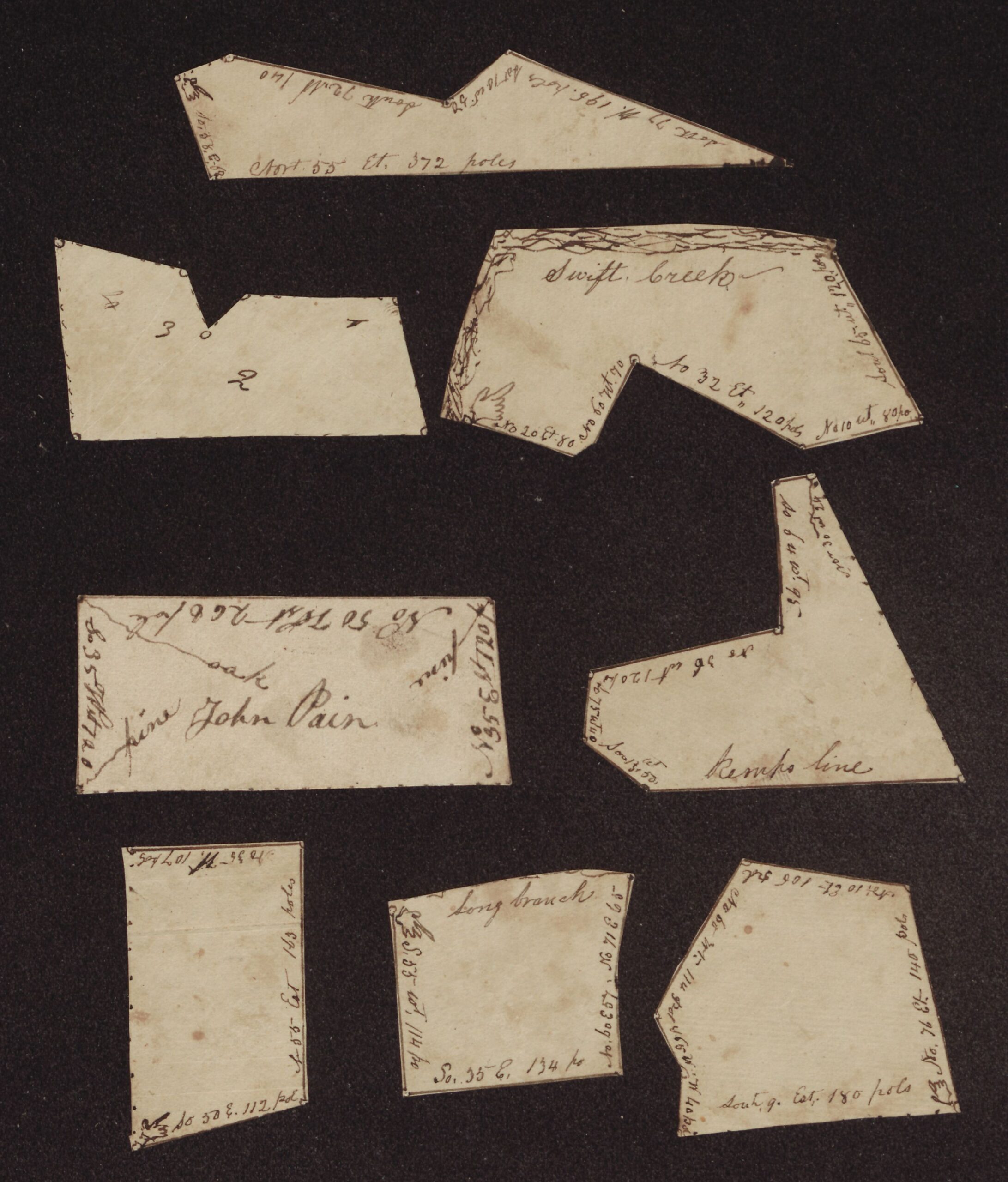
[1. Cut-out plat pieces (ECU item 35999). Eight pieces of paper cut along the lines of a plat. The writing on each piece runs along its edges; it is given here piece by piece. A pointing hand drawn on several pieces marks a beginning corner.]
[Long narrow piece:] Nort. 55 Et. 372 poles — South 77 W. 196. poles — So 70 W. 24 — South 72 Wt 140 — So. 58. E. 68
[Piece with numbers only:] 4 — 3 — 2 — 1
[Piece with the creek drawn along one side:] Swift Creek — No 20 Et. 80 — No 60 Wt. 70 — No 32 Et. 120 pols — No 10 Wt. 80 po. — Sout 69 [?] Wt. 120 poles
[Oblong piece:] John Pain — pine — oak — pine — No 50 West 268 pole — So 35 West 120 [?] — No 35 East 120 [?]
[Piece marked with Kemp’s line:] Kemps line — No 36 Wt 120 — So 75 Wt 40 — South 3[?] Et 50 [?] — So 84 [?] Wt. 95 — No 30 Wt 24 [?]
[Narrow upright piece:] No 35 Wt. 107 pols — No 85 Est 163 poles — So 50 E. 112 pols
[Piece marked with the branch:] Long branch — S. 55 Wt. 114 po — So. 35 E. 134 po — No 60 E 75 — No 71 E 65
[Five-sided piece:] South 9. Est. 180 pols — No. 76 Et. 140 pols — No 10 Et. 106 pls — No 60 Wt. 114 pls — [No?] 46 W. 40 poles
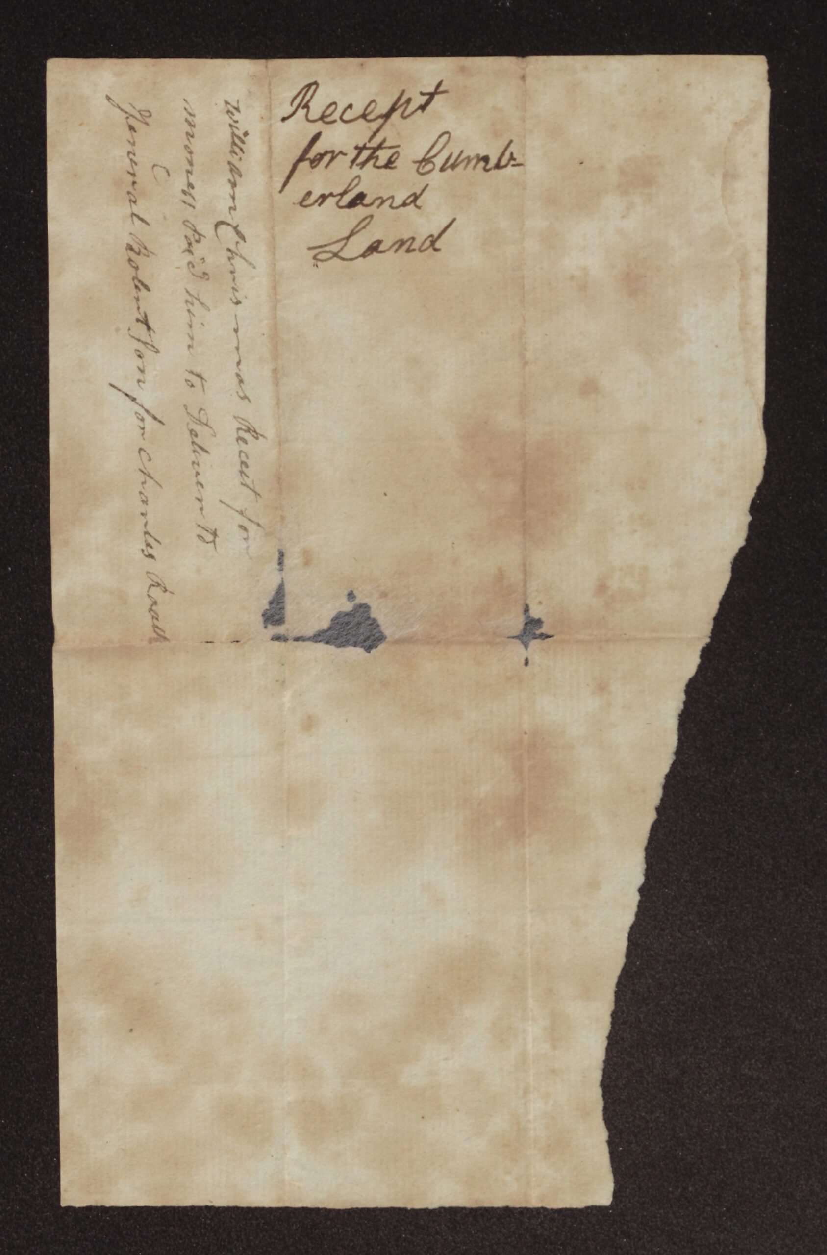
[2. Receipt for the Cumberland land (ECU item 36010). The writing is very faded.]
Recd. of Capt. James McCafferty [?] Six Dollars to be paid to Genl. James Robertson to Discharge the tax of Charles Roaches Land
Wm Christmas
Octr 14 1803
[Outside, written across the fold:] William Christmas Recet for money pd him to Deliver to General Robertson for Charles Roach
[Outside, in a larger hand:] Recept for the Cumberland Land
[3. Tax receipt, 1815 (ECU item 36015).]
Recd of James Lewis [?] for Charles Roach one dollar ninety Cents for his tax on his land in Beaufort County for the year 1814 Sepr 7th 1815 —
Allen Grist D Shff
$1-90
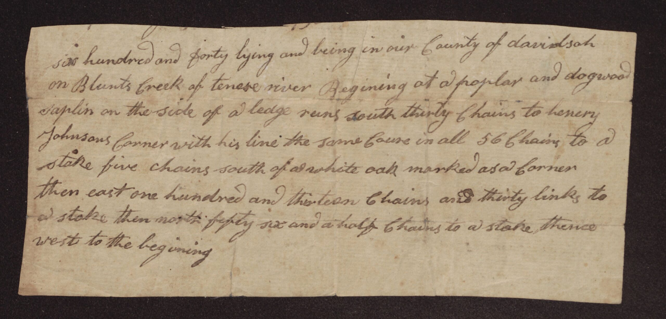
[4. Courses of land in Davidson County, Tennessee (ECU item 36052). The top of the paper is cut off.]
[top line cut away] six hundred and forty lying and being in our County of davidson on Blunts Creek of tenese river Begining at a poplar and dogwood saplin on the side of a ledge runs south thirty Chains to henery Johnsons Corner with his line the same Course in all 56 Chains to a stake five chains south of a white oak marked as a Corner then east one hundred and thirteen Chains and thirty links to a stake then north fifty six and a half Chains to a stake thence west to the begining
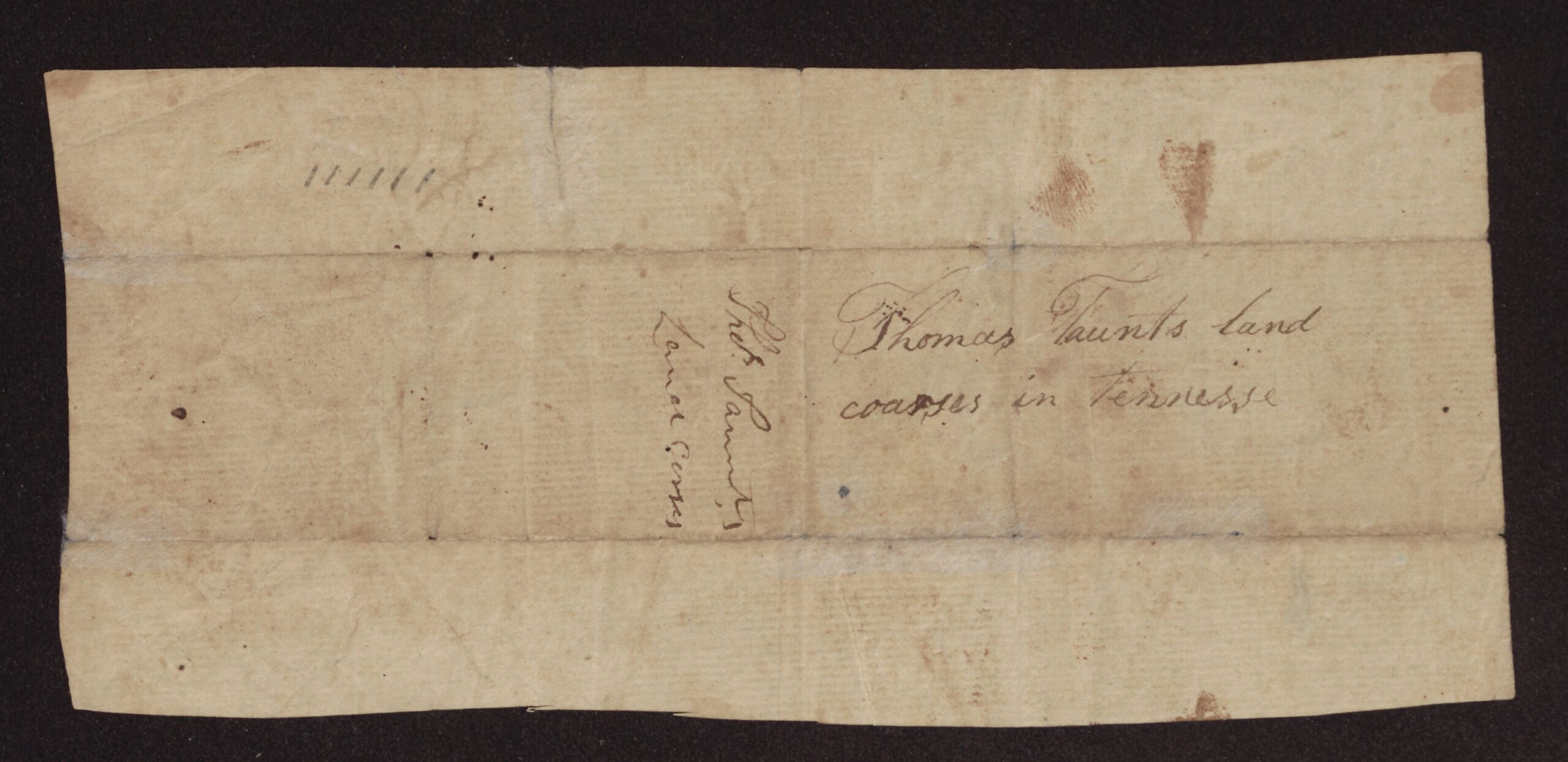
[Outside:] Thomas Faunts [?] land coarses in Tennesse
[Outside, written the other way:] Thos Faunt’s [?] Land Corses
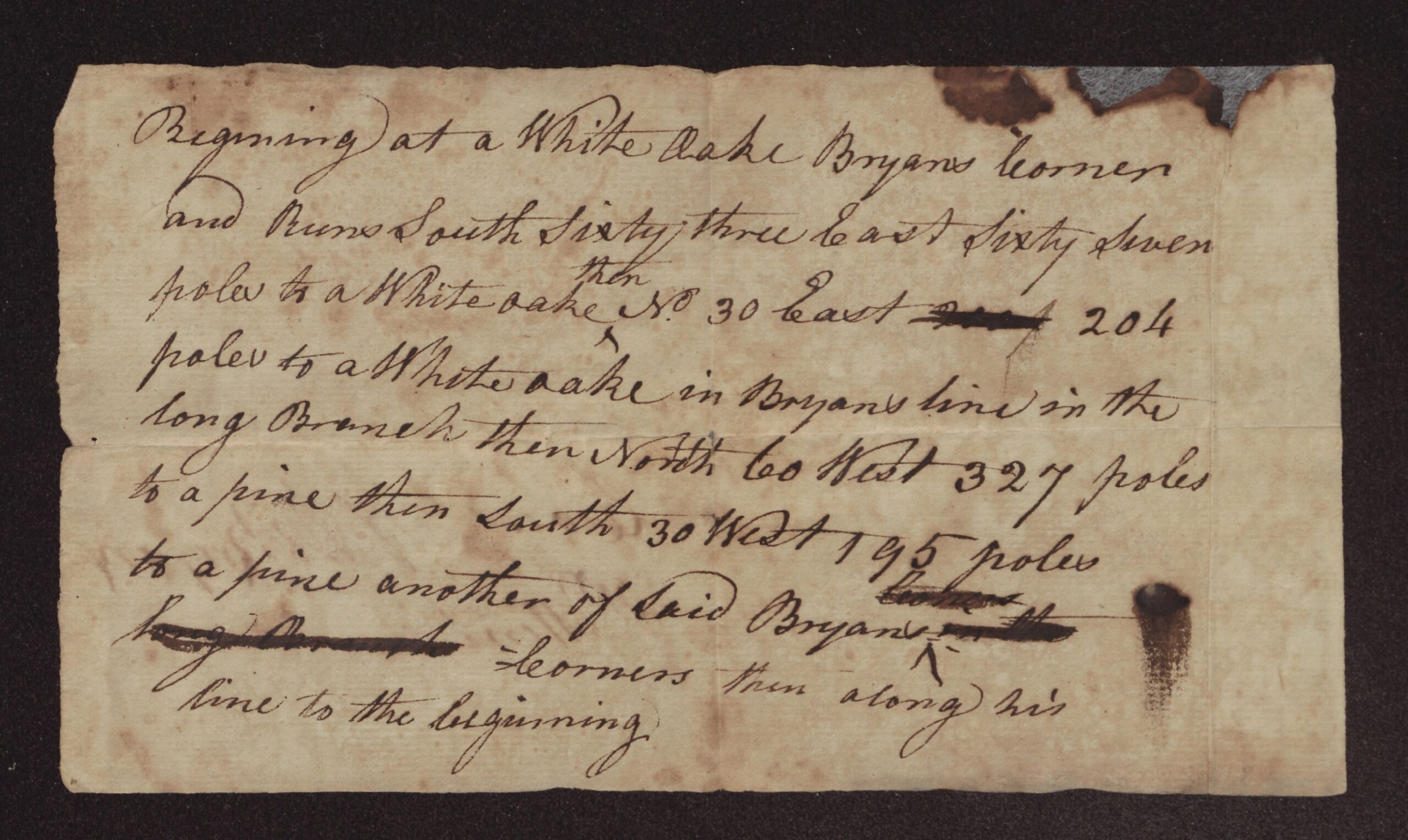
[5. Courses of William Bryan’s patent (ECU item 36053).]
Begining at a White oake Bryans corner and Runs South Sixty three East Sixty Seven poles to a White oake then No 30 East [struck through: illegible] 204 poles to a White oake in Bryans line in the long Branch then North 60 West 327 poles to a pine then South 30 West 195 poles to a pine another of said Bryans [struck through: illegible] [struck through: long Branch [?]] corners then along his line to the beginning
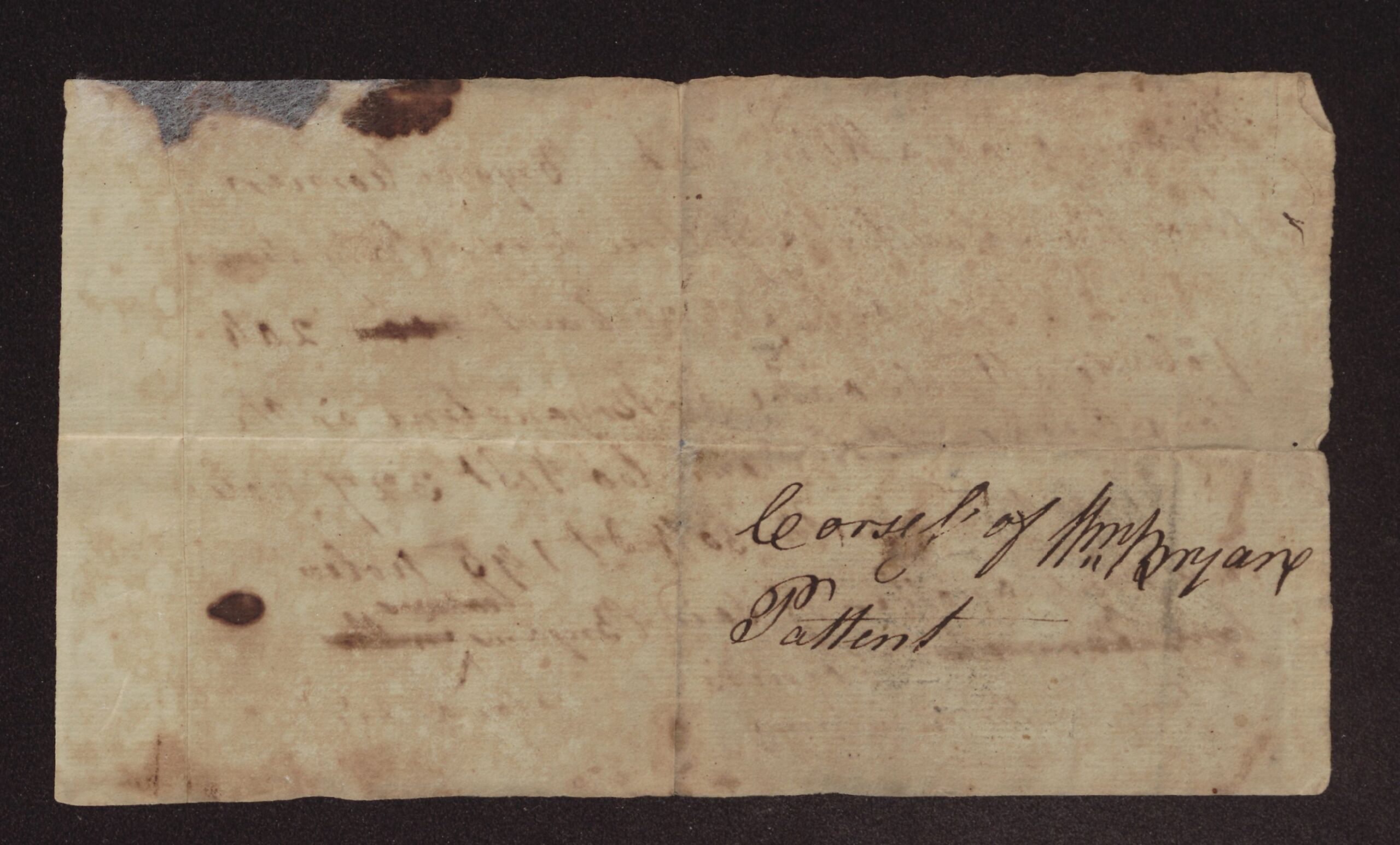
[Outside:] Corses [?] of Wm Bryan Pattent
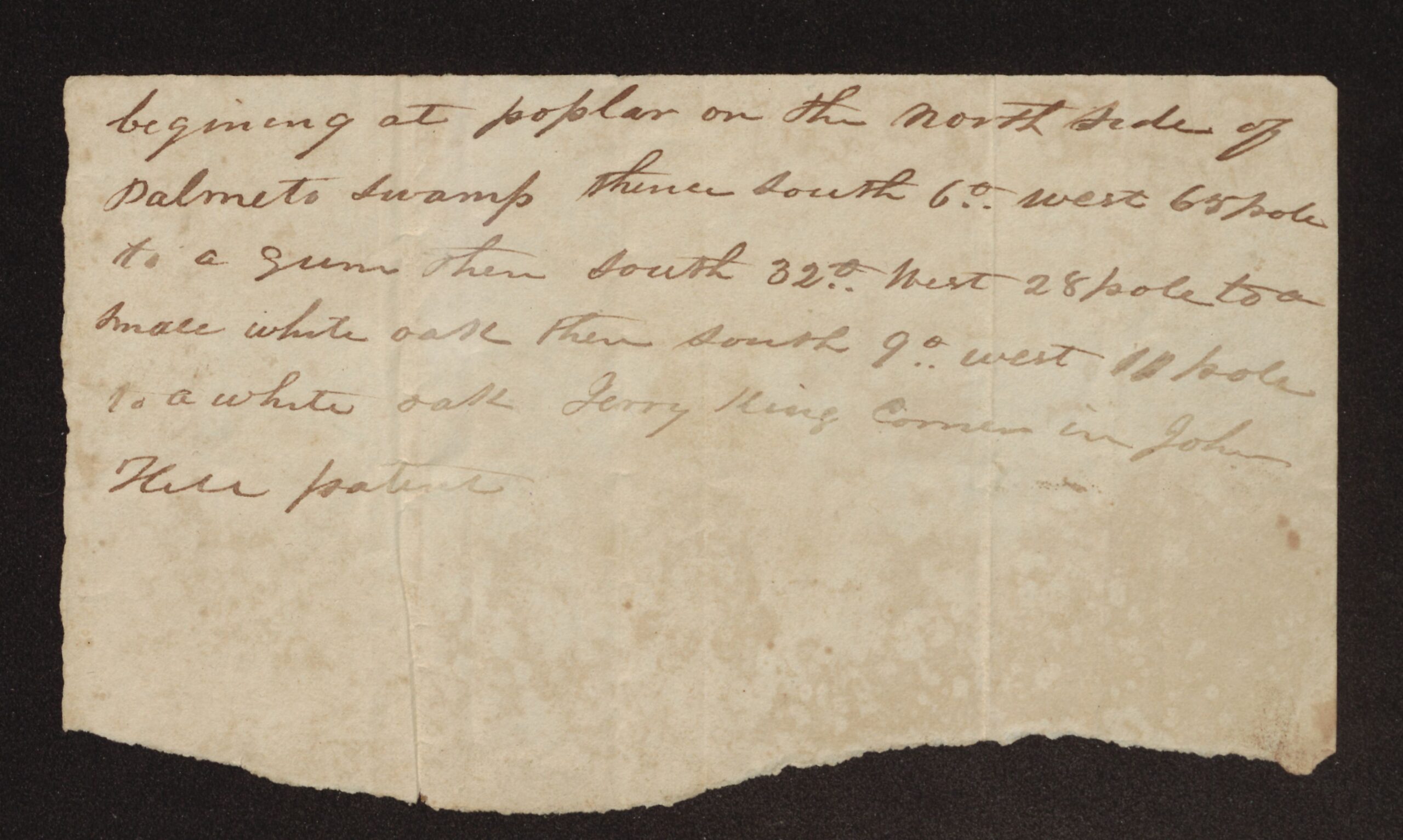
[6. Courses of the Johnson land (ECU item 36054). The bottom of the paper is torn away.]
begining at poplar on the North Side of Palmeto Swamp thence South 6°. West 65 pole to a gum then South 32°. West 28 pole to a Smale white oak then South 9°. west 11 [?] pole to a white oak Jerry King Corner in John Hill patent
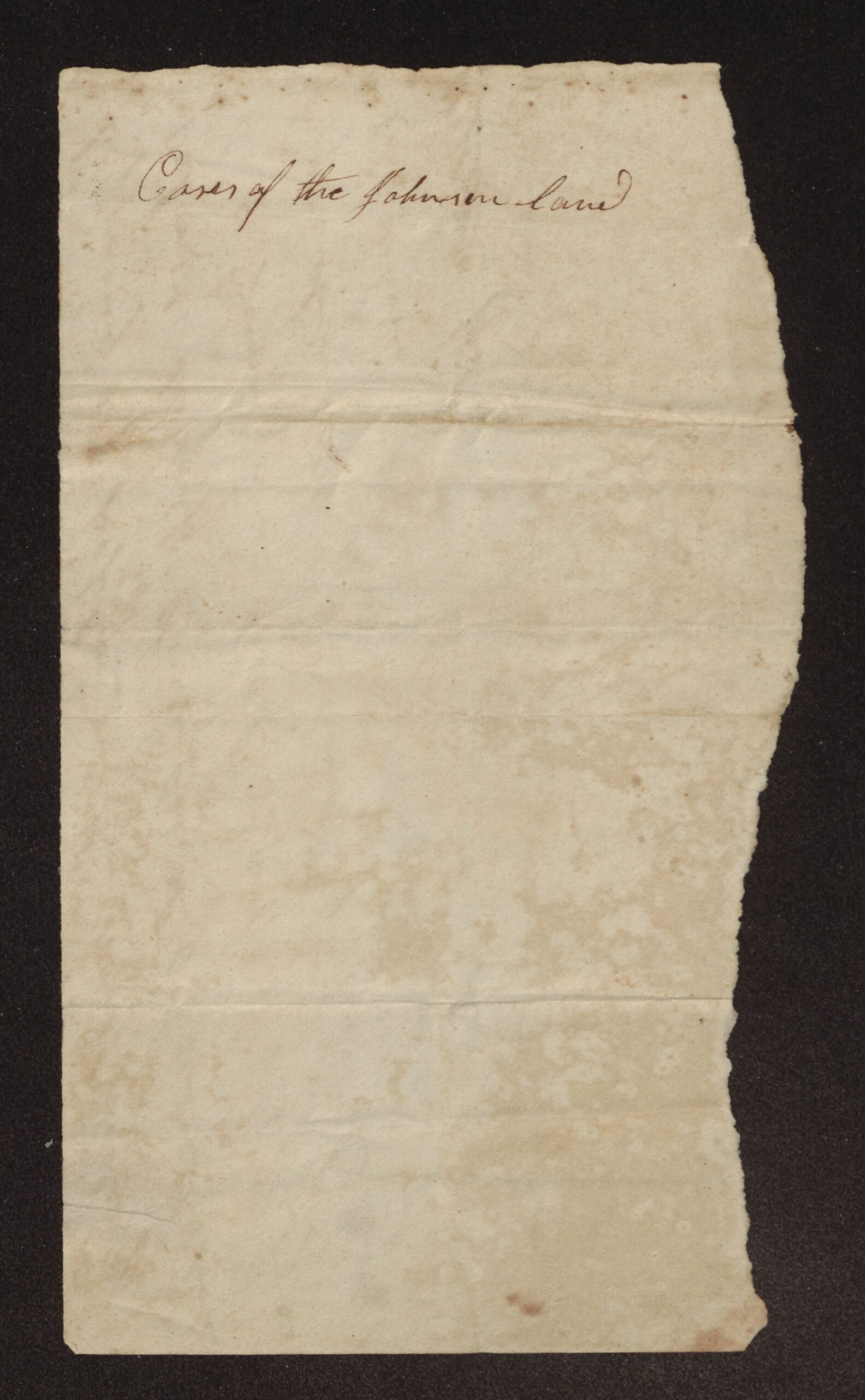
[Outside:] Coses [?] of the Johnson land
About the original
These six small papers are grouped in one post because each is short and incomplete. Each one is a separate item in ECU’s digitized folder, and the item numbers are given in brackets with each.
1. The cut-out plat pieces have no date, county, acreage or owner’s name except “John Pain.” They seem to come from one plat of several joining tracts (the pieces numbered 1 to 4) along Swift Creek, cut apart along the boundary lines. The “John Pain” piece has the same courses as the slip with the courses of John Pain’s 200-acre patent in this folder (north 35 east 120 poles, north 50 west 268 poles, south 35 west). On the cut piece the figure read as 120 looks more like 720, but 120 fits the patent. “Kemps line” probably refers to the Kemp family named in the 1794 Roach survey and the 1807 Roach–Butler deed. The piece marked “Long branch” has the same courses as the 1833 deed from Samuel J. Roach to James Roach in this folder (south 55 west 114 poles, south 35 east, north 60 east 75 poles, north 71 east 65 poles to the long branch), so it is almost certainly cut from a plat of that 100 acres. The deed gives the second line as 13 poles, while this piece gives 134 poles. A “long Branch” is also named in William Bryan’s courses (item 5). The writing is tiny and abbreviated, so several figures are uncertain, and the pieces have not been fitted back together here.
2. The Cumberland receipt shows that in October 1803 William Christmas received six dollars from Capt. James McCafferty [?] to pay to General James Robertson for the tax on Charles Roach’s land. “Cumberland” was the usual name for the settlements around Nashville in middle Tennessee, and General James Robertson was a leading man there. The receipt does not say where the land was, how Roach came to own it, or which Charles Roach this was. The surname read as McCafferty and the figure read as 14 in the date are uncertain because the ink has almost faded away.
3. The 1815 receipt is signed by Allen Grist as deputy sheriff and is for Charles Roach’s 1814 tax on land in Beaufort County. It is the only paper in this folder that mentions Roach land in Beaufort County. The man paying for him may be James Lewis, but the name is cramped. A faint word near the bottom edge cannot be read.
4. The Tennessee courses copy only the land description from a longer paper. The first line, which would have named the people and the acreage, was cut off; the words “six hundred and forty” just before “lying and being” are probably the end of the acreage, 640 acres. Six hundred forty acres (one square mile) was a common size for North Carolina grants of Tennessee land, but this paper does not say it was a grant. The only neighbor named is Henry Johnson. The owner’s surname on the outside could be read as Faunt or Taunt. This paper may belong with the Cumberland receipt, but nothing on either one says so.
5. William Bryan’s courses have no date, acreage or county. The only neighbor named is Bryan himself, whose line is followed back to the start. Two words are struck through so heavily that they cannot be read. A William Bryan witnessed the 1816 Butler–Roach deed in this folder, but this paper does not show whether he is the same man.
6. The Johnson land courses give only the first three lines of a description. The neighbors named are Jerry King and John Hill, whose patent the corner was in. “Palmeto Swamp” is not otherwise named in this folder. A survey of Charles Roach’s land in this folder names a King’s line and King’s corner, and the 1835 deed from Frederick Johnson to Alford Sutton is for land north of the Neuse River, but neither paper can be tied to this one.
Source: Miscellaneous land fragments, 1803, 1815 and undated. Roach Family Papers (#346), East Carolina Manuscript Collection, J. Y. Joyner Library, East Carolina University, Greenville, NC, Box 1, Folder c (Land Records, 1728–1886). Collection guide. Digitized folder: ECU Digital Collections, 0346-b1-fc.
Images courtesy of East Carolina Manuscript Collection, J. Y. Joyner Library, East Carolina University. View these items in ECU Digital Collections: 35999, 36010, 36015, 36052, 36053, 36054.
Part of the Roach Family Papers collection on East Carolina Roots.