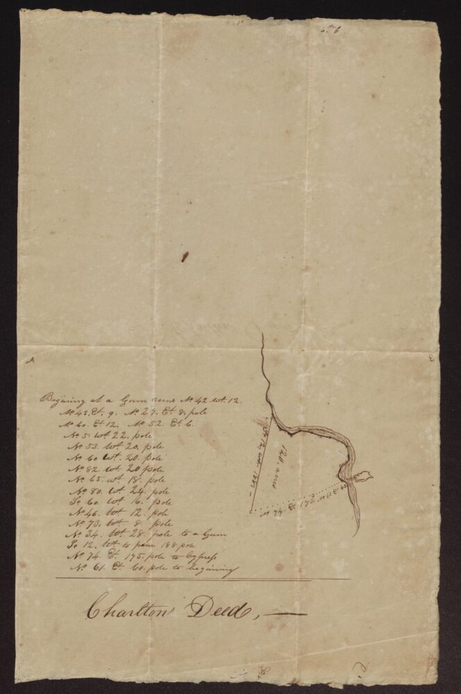
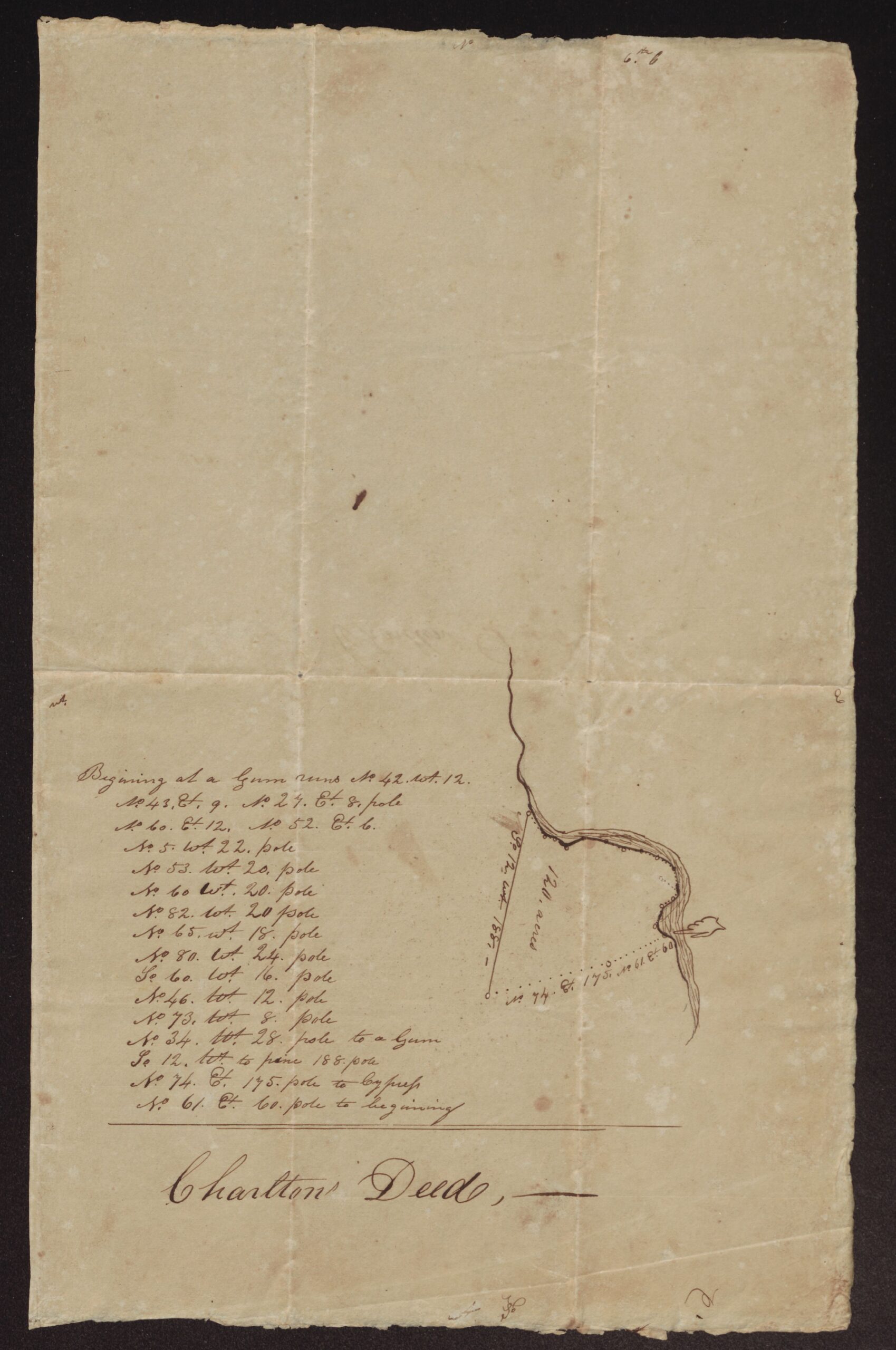
This undated sheet gives the courses and a small plat of 120 acres along a winding creek. It is labeled “Charlton Deed” but names no seller, buyer, county or neighbors. The tract began at a gum, followed the creek in many short courses to another gum, then ran south 12 west 188 poles to a pine, north 74 east 175 poles to a cypress, and north 61 east 60 poles back to the start.
There is no surveyor’s name, date or witness. The label suggests it may go with George Charlton’s 1804 deed to David Averitt for 100 acres on Swift Creek in this folder, but that cannot be proved; the notes below give the points for and against. The writer’s own words are kept as written below.
Courses and plat of 120 acres on a creek, labeled “Charlton Deed” – undated
Transcription notes: spelling, capitalization and punctuation follow the original. Words in [square brackets] are editorial notes; [?] marks an uncertain reading and [illegible] marks words that could not be read.
[At the top:] No 6th b [?]
Begining at a Gum runs No. 42. Wt. 12.
No. 43. Et. 9. No. 27. Et. 8. pole
No. 60. Et. 12. No. 52. Et. 6.
No. 5. Wt. 22. pole
No. 53. Wt. 20. pole
No. 60 Wt. 20. pole
No. 82. Wt. 20 pole
No. 65. Wt. 18. pole
No. 80. Wt. 24. pole
So. 60. Wt. 16. pole
No. 46. Wt. 12. pole
No. 73. Wt. 8. pole
No. 34. Wt. 28. pole to a Gum
So. 12. Wt. to pine 188. pole
No. 74. Et. 175. pole to Cypress
No. 61. Et. 60. pole to beginning
[Plat. Labels on the drawing:]
So. 12. Wt. 188
120 acres
No. 74. Et. 175. No. 61. Et. 60
Charlton Deed, —
[Outside:]
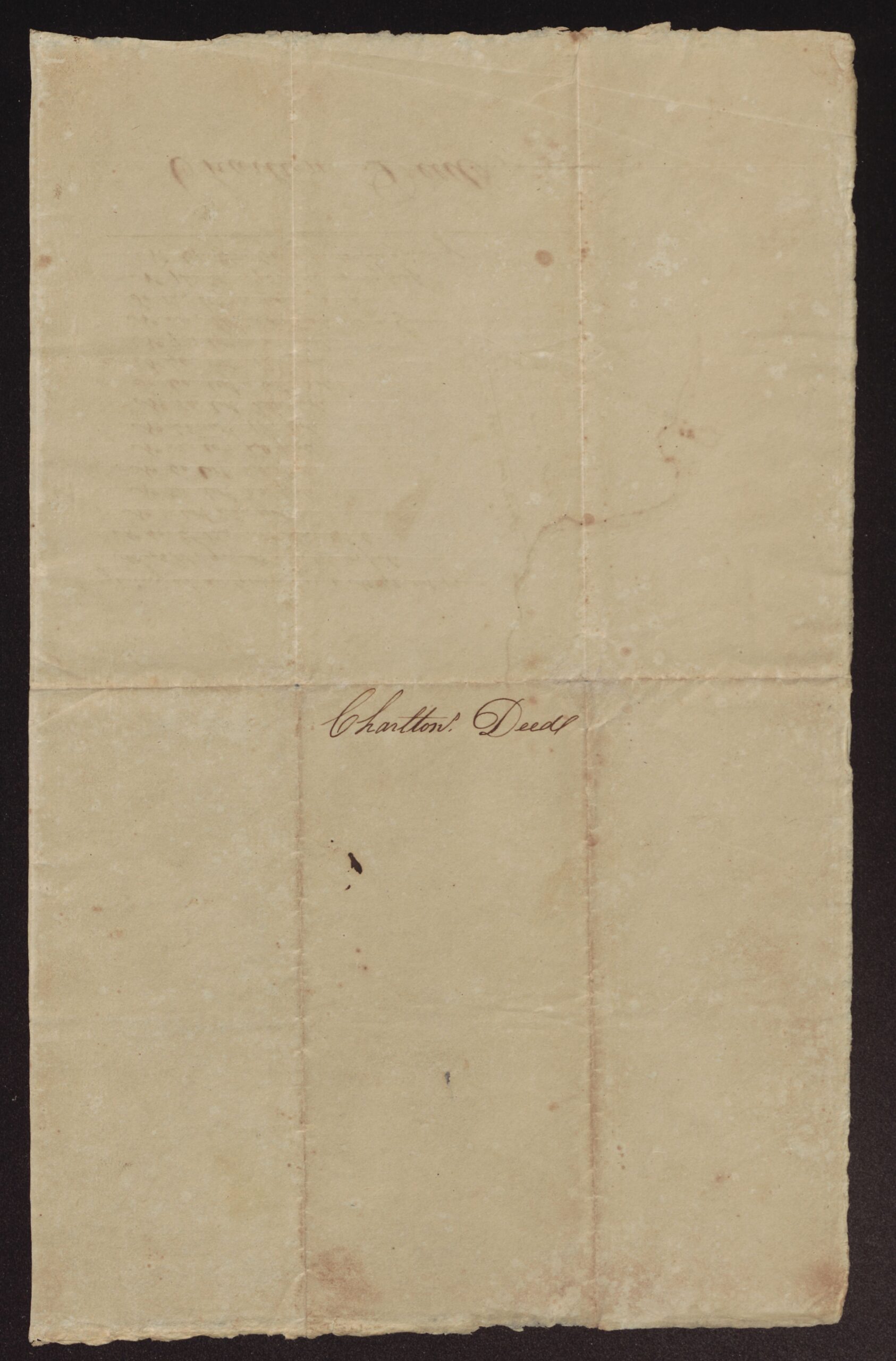
Charlton Deed
About the original
A single sheet with a column of courses and a small plat drawn beside them, and “Charlton Deed” written below and again on the outside. It has no date, names of owners, county, surveyor or signature. The mark at the top is hard to read and may be a filing number. The courses on the front show through faintly on the back.
“No.” in the courses means north and “So.” south; “Et.” and “Wt.” are east and west. The plat shows a winding creek or creek swamp with a straight line running from it to a pine and a dotted line back to it, and gives the tract as 120 acres.
This paper may go with George Charlton’s 1804 deed to David Averitt in this folder, but that cannot be proved from the paper itself. Points in its favor: it is labeled “Charlton Deed,” and both describe land bounded by a creek, beginning at a gum, with a pine and a cypress as corners. Points against or unknown: the deed says one hundred acres “mor or Less,” while the plat says 120 acres; the deed gives no compass courses or distances at all, only landmarks (the mouth of a branch, the fork of the branch, a pine on the road, a cypress in a branch); and the order of the calls is different. No other Charlton deed is in the folder, so this is the likeliest match, but it should be treated as a possible link only.
Source: Courses and plat labeled “Charlton Deed,” undated. Roach Family Papers (#346), East Carolina Manuscript Collection, J. Y. Joyner Library, East Carolina University, Greenville, NC, Box 1, Folder c (Land Records, 1728–1886). Collection guide. Digitized folder: ECU Digital Collections, 0346-b1-fc.
Images courtesy of East Carolina Manuscript Collection, J. Y. Joyner Library, East Carolina University. View this item in ECU Digital Collections.
Part of the Roach Family Papers collection on East Carolina Roots.